
Page 4 of Maps & Globes
(110 Products)
Sort by:
Best match
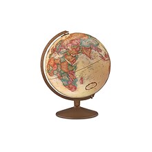
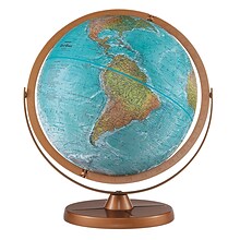
Replogle Globes The Franklin Globe 12", 1 Globe (RE-31501)
Item #: 901-JV2323238
Classroom World Globe
Size(s): 12" diameter
Material(s): Plastic


National Geographic National Parks & National Forest of the US, Map Pack Bundle (NGMDM01021301B)
Item #: 901-24611388
National Geographic's Destination Maps of National Forests and Grasslands of the United States highlights the 154 national forests and 20 national grasslands across America.
A list of all forest service and grasslands units, sorted by region, is also included to help you find the closest recreational opportunity.
The National Park and National Forest Map Pack Includes: National Parks of the United States & National Forests and Grasslands of the United States


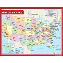
National Geographic United States Decorator Map, Laminated, 43.5" x 30.5" (NGMRE00622083)
Item #: 901-24611382
National Geographic's Decorator style map of the United States features rich, attractive color fills that bring any room or classroom to life.
Measures 43.5" x 30.5"
Colorful Decorator style map with vibrant color palette that fills each country for easy identification


National Geographic Continental Divide Trail Map, In Gift Box, 18" x 48" (NGMRE01021204X)
Item #: 901-24611457
National Geographic Continental Divide Trail Wall Map- National Geographic's map of the Continental Divide Trail is ideal for fans and hikers of this magnificent National Scenic Trail.
Measures 18" x 48"
It makes a great planning tool or as reference to track progress on the 3,100 plus mile length.


National Geographic World Executive Map, Poster Size and Laminated, 36" x 24" (NGMRE01020376)
Item #: 901-24611378
Expertly researched and designed, National Geographic's World Wall Map is the authoritative map of the world by which other reference maps are measured.
The 36" x 24" poster size supports easy and affordable framing and mounting, and takes less wall space than standard wall maps.
Antique-style "executive" color palette


National Geographic World Executive Map, Enlarged and Laminated, 73" x 48" (NGMRE00622088)
Item #: 901-24611311
Expertly researched and designed, National Geographic's World Wall Map is the authoritative map of the world by which other reference maps are measured.
Measures 73" x 48"
Antique-style "executive" color palette


National Geographic World Executive Map, Laminated, 46" x 30.5" (NGMRE00622087)
Item #: 901-24611366
Expertly researched and designed, National Geographic's World Wall Map is the authoritative map of the world by which other reference maps are measured.
Measures 46" x 30.5"
Antique-style "executive" color palette


National Geographic Appalachian Trail Map, Laminated, 18" x 48" (NGMRE01020743)
Item #: 901-24611441
Expertly researched and designed, National Geographic's map of the Appalachian Trail is ideal for fans and hikers of this magnificent national scenic trail.
Measures 18" x 48"
It makes a great planning tool or as reference to track progress on the 2,200 mile length.
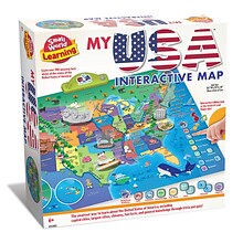
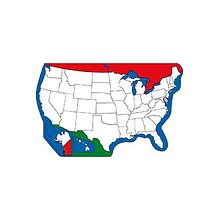
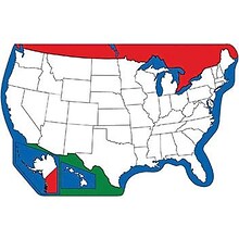
Small World Toys My USA Interactive Map, 30.7" x 24" (SWT9721053)
Item #: 901-24519539
Great learning and educational toy
Interactive talking map
Great way for children to learn the USA map while playing


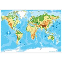
National Geographic World Classic Map, Enlarged and Laminated, 69.25" x 48" (NGMRE00622003)
Item #: 901-24611409
Expertly researched and designed, National Geographic's World Wall Map is the authoritative map of the world by which other reference maps are measured.
Measures 69.25" x 48"
Signature Classic style map with bright, easy to read color palette with blue oceans and colorful borders
Pacon® Corporation® Learning Walls® World Map (PAC78770)
Item #: 901-JV38298
Subject: Science/technology, nonfiction
Dimensions: 48" x 72"
A place for students and teachers to interact creatively
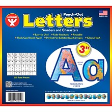
Hygloss Products 3" Punch-Out Letters, Globes (HYG10019)
Item #: 901-JV2127315
Letters/Decoration
Assorted Colors
10.5" x 9" x .5"
Replogle Globes Atlantis Globe, 12" (RE-33801)
Item #: 901-JV38115
Map color: Blue
Base material: Plastic
Style: Traditional
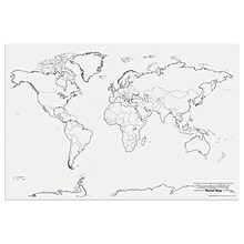
Shapes Etc Practice Map, Unlabeled, 8x16", US
Item #: 901-JV52638
Age group and grade: Ages all and grades all
Subject: Map skills
Multi use notepad is an excellent learning tool
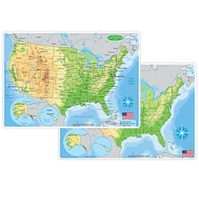
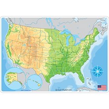
Ashley Productions Smart Poly 12" x 17" U.S. Physical Map Learning Mat, Double-Sided (ASH95001)
Item #: 901-24529533
Heavy duty double-sided surface, no lamination required
Use with dry erase or water based markers and washable crayons
Water Resistant
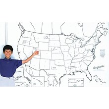
Jumbo Map Pads, U.S. Map, Blank
Item #: 901-JV40309
Subject: Social studies
Subject: Science/technology, nonfiction
Perfect for testing geography knowledge! 30 sheets per pad(15 7/8" x 10 3/4" each) with all the states left blank for testing
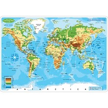
Ashley Productions Smart Poly 12" x 17" World Physical Map Learning Mat, Double-Sided (ASH95003)
Item #: 901-24529521
Heavy duty double-sided surface, no lamination required
Use with dry erase or water based markers and washable crayons
Water Resistant
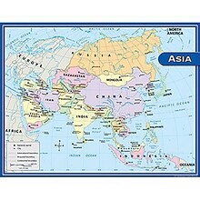
Teacher Created Resources Asia Map Chart, 17"W x 22"H (TCR7652)
Item #: 901-JV47409
Theme/design: Social studies
Color: Assorted
Age group and grade: Ages 5 - 9 and grades 1st - 3rd
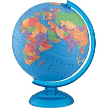
Replogle Globes Adventurer 12" Political Globe (RE-37500)
Item #: 901-JV59626
Classroom World Globe
Size(s): 12" diameter
Material(s): Plastic
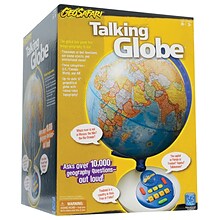
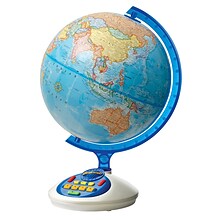
Educational Insights GeoSafari® Talking Globe® (EI-8895)
Item #: 901-24514965
GeoSafari Talking Globe includes more than 1, geography questions for grades 3 and up!
Choose from U.S.A./Canada, World, or ALL quiz categories, listen to the question, then use the keypad to enter your answer!
Improve your geography knowledge on your own or play with a friend—Talking Globe is perfect for up to 4 players.
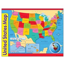
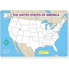
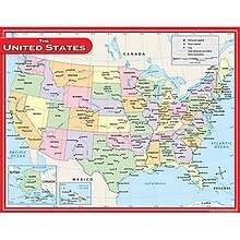
United States Map Learning Chart
Item #: 901-JV46183
Theme/design: Classroom
Color: Assorted
Size: 17"(H) x 22"(W)
Pacon Learning Walls®, United States Map, 48 x 72"
Item #: 901-837594SSW
Place for students and teachers to interact creatively
With Learning Walls children have fun decorating the detailed scenes while learning
Dimensions: 48"(L) x 72"(W)
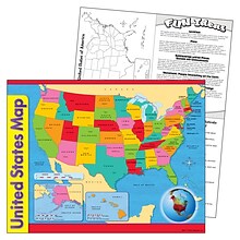
Teacher Created Resources US Map Chart, 17"W x 22"H, 10/Bundle (TCR7657)
Item #: 901-879555
Theme/design: Social studies
Color: Assorted
Size: 17"(H) x 22"(W)
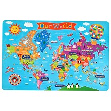
Round World Junior Kid's World PlaceMap (RWPKPM01)
Item #: 901-24529200
Printed on tested safe sturdy material
Easy to wipe and clean with a damp cloth
Make meal time, fun time!


